Nushagak Kings Mapping Project

About the Program
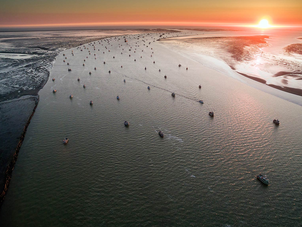
The Nushagak King Mapping Project was designed to collect data to help address the challenges of fishery closures due to low king salmon returns in the Nushagak and Bristol Bay regions in Alaska. By gaining first-hand knowledge from fishermen about when and where kings are and aren’t showing up in the Nushagak district, this project aimed to help fisheries managers map and establish king salmon corridors so that sockeye fishing can open earlier in the season in areas outside of king migration corridors.This project was a collaboration between Skipper Science, Bristol Bay Regional Seafood Development Association, and the University of Washington's Alaska Salmon Program.
Project Partners